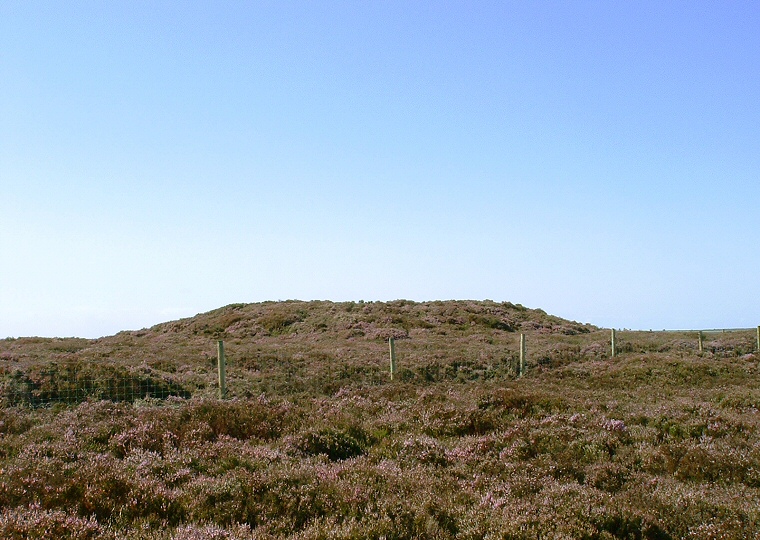
Foster Howes - the central barrow looking northwest
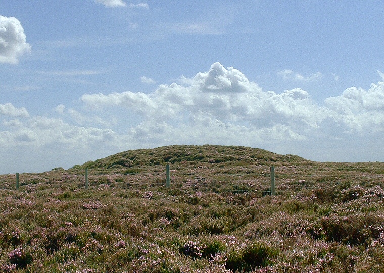
When approached by track from the northwest direction it is the smaller northern barrow at NZ87430101 that is met with first, it stands less than a metre high and has diameter of around 12 metres with traces of a 2 metre wide ditch on the southern side. The central barrow just beyond at NZ87440099 (shown above) is larger, standing nearly 2 metres high with a diameter of 20 metres. It too has traces of a 2 metre wide ditch. The third and largest barrow stands a little further away just to the west of a gate and stile (image below). This southernmost barrow at NZ87460090 is 2 metres tall with a diameter of 20 metres. It also has remains of a 2 metre wide ditch and also had a stone kerb (similar to the northern barrow at Flat Howe) although it is difficult to say how many stones remain - I only saw one stone. All three barrows, although covered in thick heather, show the signs of previous diggings with craters in the top, the central and north barrow both having boundary stones inserted into their craters.
These barrows are part of a chain of similar monuments that runs for nearly 7 miles from Black Brow in the north to the head of the valley of Stockland Beck in the southeast and it could be that they formed part of a territorial boundary across the moor. The chain includes Flat Howes, Pen Howes, Breckon Howe, Sil Howe, Flass Brow, Robbed Howe, Foster Howes, Ann Howe, Louven Howe, Lilla Howe, High Woof Howe and Low Woof Howe.
Date: Bronze Age

Foster Howes - the southern barrow looking southwest