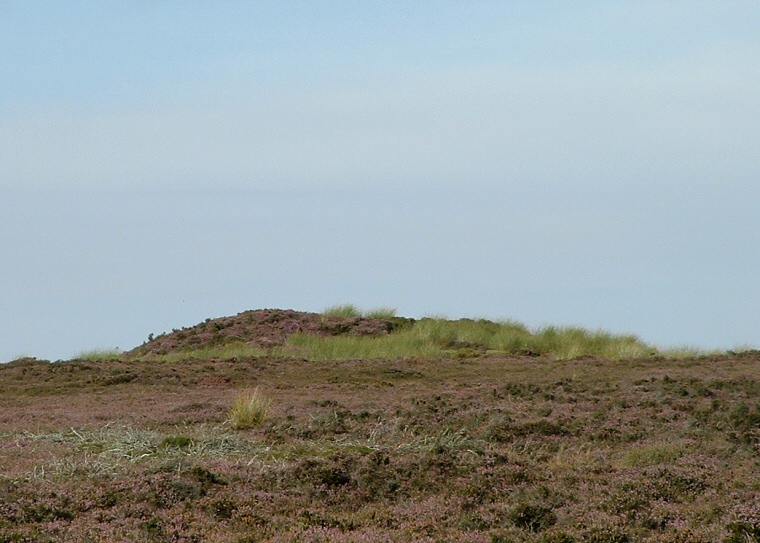
The southern barrow - looking north from the road
There are actually
two round
barrows here that share the name Flat Howe, they stand a short distance
to the east of the High Bridestones
standing stones on the opposite site of the minor road across Sleights
Moor that leads from the junction with the A169 to the town of Grosmont.
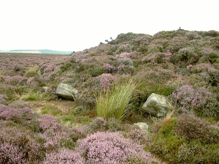
The northern barrow at NZ855049 (photograph below) is unusual in that it has a number of kerb stones set into its edge - these must have been within the external ditch if one existed, the other barrow doesn't have a kerb although its stones could have been removed and broken up to build nearby grouse butts.
The barrows occupy one of the highest points on the moor and it has been suggested that they form the start (or end) of a chain of similar barrows that extends for around seven miles in a roughly southeast direction following a line of ridges and ending close to the head of the valley of Stockland Beck. It could be that this linear formation of monuments formed a territorial boundary between different part of the moor. The list of barrows is as follows - Flat Howes, Pen Howes, Breckon Howe, Sil Howe, Flass Brow, Robbed Howe, Foster Howes, Ann Howe, Louven Howe, Lilla Howe, High Woof Howe and Low Woof Howe
Date: Bronze Age

Part of the stone kerb around the northern barrow