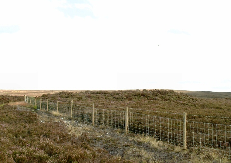
Looking southeast over Robbed Howe.
Robbed Howe stands just to the south
of the large forestry plantation on Sneaton Moor and forms part of a chain of
similar monuments that run for several miles across the North Yorkshire landscape.
These round barrows include Flat Howes, Pen Howes, Breckon Howe, Sil Howe, Flass Brow, Robbed Howe, Foster Howes, Ann Howe, Louven Howe, Lilla Howe, High Woof Howe and Low Woof Howe and it could well be that they formed a territorial boundary line across the moor.
Robbed Howe measures 13 metres in diameter but stands less than a metre tall and is the lowest lying of this line of barrows - indeed it marks the lowest point in this chain. The name 'Robbed Howe' may allude to the fact that it has a crater in it top - either as the result of antiquarian diggings or plundering by treasure seekers, however anyone spending time on the moors will notice that most of the other barrows in this group also display the same craters. Like many of these barrows the crater contains a boundary stone and there is evidence of a possible stone kerb similar to one of the barrows of Flat Howes and Foster Howes.
Date: Bronze Age.