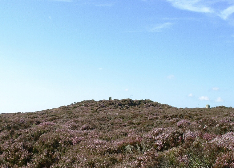
Louven Howe with boundary stone on top and triangulation point to the right of picture
Louven Howe round barrow
forms part of a chain of similar monuments that runs for nearly 7 miles from Black
Brow in the north to the head of the valley of Stockland Beck in the southeast.
It has been suggested that these barrows may have formed part of a territorial boundary across the moor, the chain includes Flat
Howes, Pen Howes, Breckon
Howe, Sil Howe, Flass
Brow, Robbed Howe, Foster
Howes, Ann Howe, Louven Howe, Lilla
Howe, High Woof Howe and Low
Woof Howe.
The barrow has great views west across Goathland Moor and east across Fylingdales Moor towards the sea south of Robin Hood's Bay and marks the highest point in this chain although it is by no means the largest barrow of the group measuring roughly 10-12 metres in diameter and around a metre in height with a crater in its summit. It is also the home to a boundary stone that is carved on one face with an incised small cross and the letter C - probably the mark of the Comley estate while an Ordnance Survey triangulation point stands a few paces away to the northeast.
Date: Bronze Age