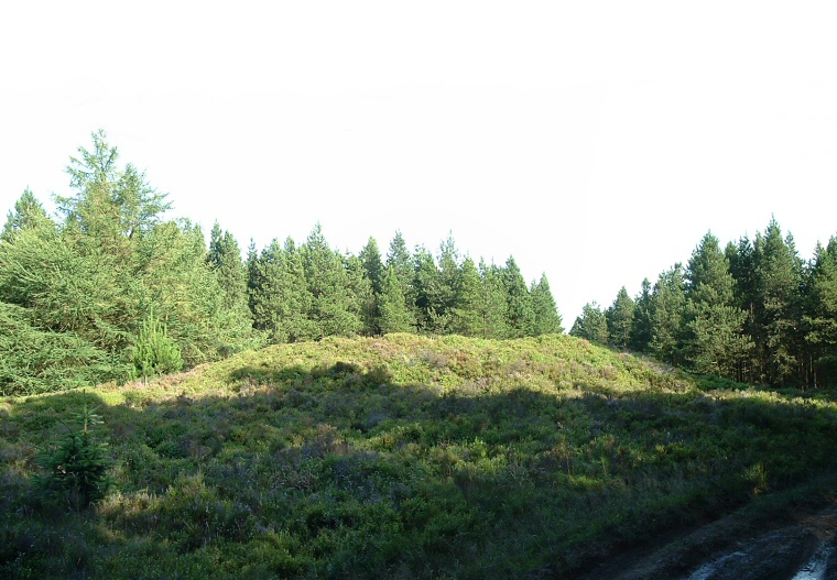
High Woof
Howe is a large round barrow
that stands in what is now the north-western edge of Langdale Forest. It
is part of a chain of barrows that run in a roughly northwest-southeast direction
from Black Brow close to the High
Bride Stones down to near the head of the valley of Stockland Beck a couple
of miles southeast of here.
This chain which has been suggested formed a territorial boundary across the moors includes Flat Howes, Pen Howes, Breckon Howe, Sil Howe, Flass Brow, Robbed Howe, Foster Howes, Ann Howe, Louven Howe, Lilla Howe, High Woof Howe and Low Woof Howe.
The barrow itself was probably only about 24 metres in diameter originally but is now an oval shape that measures more than 30 metres at it longest part due to various diggings in the past including soil thrown out from the partial excavation of the top of the barrow and the building of a shooting box into the side. It still stands to a respectable 2 metres high although excavations have left a large crater in the summit. This crater now contains a boundary stone that bears part of the inscription 'By Order of the Commissioner of Wykeham Inclosure 1786'.
Date: Bronze Age