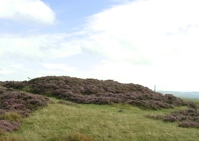
This round barrow
stands close to the same road as the barrow of Breckon Howe with Pen Howe a little further beyond
and the damaged stone setting of the High
Bride Stones a short distance away to the north across Sleights Moor. It forms
part of a chain of barrows that runs southeast for around seven miles, these barrows
include Flat Howes, Pen
Howes, Breckon Howe, Sil Howe,
Flass Brow, Robbed
Howe, Foster Howes, Ann
Howe, Louven Howe, Lilla
Howe, High Woof Howe and Low
Woof Howe.
The earth and stone mound of Sil Howe measures about 13 metres in diameter and stands just over a metre tall although it is difficult to gauge its size due to its dense covering of heather which hides a large depression caused by former excavations. Like Breckon Howe it occupies a high spot on a roughly southwest-northeast ridge of land across the moor (between the valleys of the River Esk and Little Beck) which could well have been a prehistoric trackway - this possible track has now become the route of the road from Goathland to Sleights.
Date: Bronze Age